Website
Bibliographies - Cartography
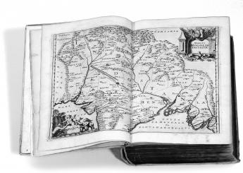
Maps before 1850
Bibliographic records of maps, navigational and celestial charts, town plans, bird´s-eye views, globes, and atlases up to 1850: approximately 257.000 map titles with about 315.000 locations and links to 1.444 digital historical maps, mostly from German libraries like: Staatsbibliothek Berlin, Bayerische Staatsbibliothek München, Herzog August Bibliothek Wolfenbüttel.
Antique Maps of Iceland
All antique maps of Iceland (older than 1900) that are in the collections of the National and University Library of Iceland and the Central Bank of Iceland are digitally accessible in the database, with short historical descriptions in Icelandic and English for most of the maps. A project in collaboration with the Nordic Digital Library Center (NDLC), a department within the National Library of Norway.
Cartographic Images
Historical maps with scans and bibliographical notes, from ancient times up to 1880.
Map History / History of Cartography
“THE gateway to the subject” offers a wide range of information about: exhibitions, fakes and forgeries, family history, fellowships and prizes, museums, societies, collections and collectors, thefts, newsletters and journals.
Yale Map Collection
One of the largest university collections in the United States: over 200.000 map sheets, 3.000 atlases, and 900 reference books, approximately 15,000 rare (pre-1850) sheet maps. These cover many areas of the world, most pertain to North America, the United States, and New England.
The Ryhiner Map Collection
Map collections as memories of the world - The Ryhiner map collection is one of the most outstanding collections of the world and consists of more than 16,000 maps, charts, plans and views from the 16th to the 18th century, covering the whole globe. A project of the University Library of Berne (Switzerland). A printed catalogue is available, too: Catalogue of the Ryhiner Map Collection. 4 volumes. 1786 pages and 16528 catalogue numbers.
Brock University Map Library
Lots of maps from the James A. Gibson Library and other special collections.
MAGIC
The University of Connecticut Libraries' Map and Geographic Information Center - "Digitizing the Past to Empower 21st Century Research": maps, atlases, gazetteers, aerial photographs, and digital geospatial data pertaining to the state of Connecticut, New England and the world.
Hargrett Library Rare Map Collection
A collection of more than 1,000 historic maps spanning nearly 500 years, from the 16th century through the early 20th century. It emphasizes Georgia as colony and state, along with its surrounding region.
Library of Congress Map Collection
The Geography and Map Division of the Library of Congress holds more than 4.5 million items, of which this database represents only a small fraction. The focus lies on Americana and cartographic treasures of the Library of Congress.
Perry-Castañeda Library Map Collection
Historical maps: Africa, America, Asia, Australia, South Sea, Europe, Middle and Far East, Polar Regions, Russia etc.
The Roger Baskes Collection
Roger Baskes has collected atlases, travel guides and other books. Together with geography books and related reference materials, his collection comprises over 15,000 books, containing over 500,000 maps. Baskes is Chairman of the Board of Trustees of the The Newberry Library in Chicago. He has begun to give the collection to the Newberry, which already owes of the world's largest and most important collections of maps and atlases.