Antiquarian Booksellers' Association Ash Rare Books
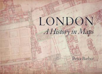
London : A History in Maps
By Laurence Worms
Back in 2006, the British Library put on what was to become (at that time) its most successful exhibition ever – London: A Life in Maps. It still exists in partial and virtual form on the British Library website. “See London as you have never seen it before” was the tag-line – and so we did. The history of our great city was explored and illuminated using the primary documents: the contemporary maps and views generated by the eye-witnesses. Londoners flocked to it in their thousands.
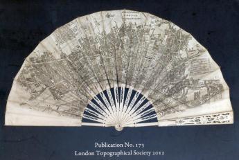
The one thing lacking was a permanent record of the entire exhibition and the compelling narrative (in detailed captions, interpretation and formal identification of the material) which accompanied it. The London Topographical Society has now stepped in and published, in association with the British Library, the full record – London : A History in Maps – the complete narrative catalogue as originally compiled by Peter Barber, Head of the BL Map Library. And not just the words, but with every item illustrated in whole or in part.
Edited by Ann Saunders and Roger Cline, it is the story of London’s transformation from the walled city of the Romans to one of the world’s greatest and most enduring cities. It is a story told in maps. Alongside the great, semi-official (but in some sense perhaps sanitised) images of the whole city, there are the workaday maps and plans of the constituent parts – parts both built and unbuilt – the development of the West End, the remaining countryside, the East End and the Docks, commercial London, grand and stately London, the capital of Empire, the mean and hidden streets, sporting London, commuter London and the spillage into Metroland, wartime and blitzed London – all offering an alternative narrative. These are far more than simple topographical records. They tell a story of the concerns, passions, assumptions, blindnesses, ambitions and prejudices of Londoners who made and commissioned them. They are the secret narrative – the inside story.
Maps are not passive. There is always selectivity – both as to what is included and to what is passed over in silence. They are statements about the past, the present and the future. Dry record is imbued with speculation or nostalgia, or hope and aspiration. The maps so often reveal far more about London life and the attitudes of Londoners than their creators intended.
This is great London book – one of the best of all the many pictorial histories we have been richly endowed with down the years. Peter Barber is a master of maps as well as the subtle lights and shadows of London life. A Gold Medal for it in London’s Olympic year.
The current furore in the book world over sock-puppet reviews perhaps demands that I should add a significant rider. Interspersed with Peter’s narrative are a number of little potted biographies of the Londoners who made the maps – and these are, I fear, my own. They have been judiciously printed in a different colour, signifying that they are the boring bits which the reader can conveniently skip – if only all publishers were that thoughtful. I should also perhaps add that no royalties are involved – all proceeds to that inestimable charity, the London Topographical Society.
It’s available for purchase now – direct from the Society and (I hope) from all good bookshops and other sources. No need to guess what anyone expecting a present from me over the coming months is going to get. I am simply very proud to be associated, even in such a modest way, with this exquisite record of my native city.
(Published in The President on Safari. Presented here by permission of the author.)